|
|
Grant's Trail: Maps, Parking, Directions, and Mileage
St Louis County, Missouri
|
 - Grant's Trail - Grant's Trail
 - Mile marker - Mile marker
|
Welcome to your Grant's Trail resource!
|
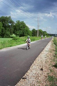
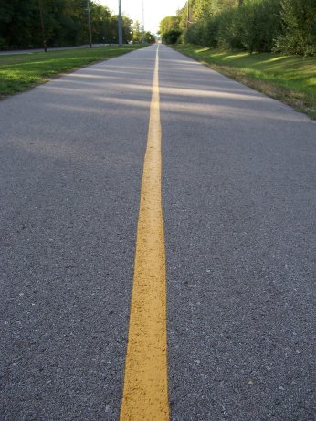
ABOUT GRANT'S TRAIL
The Ulysses S. Grant Trail (Grant's Trail) is a 10 mile long "rails to trails" bike trail stretching through
south and southwest St. Louis County, Missouri.
The trail runs from Kirkwood to the River Des Peres, where it connects to the River Des Peres Greenway.
As a mostly former railroad right of way, Grant's Trail is flat and perfect for biking,
running, inline skating, walking, or cross-country skiing.
|
MORE RESOURCES
|
|
|
|
|